Introduction
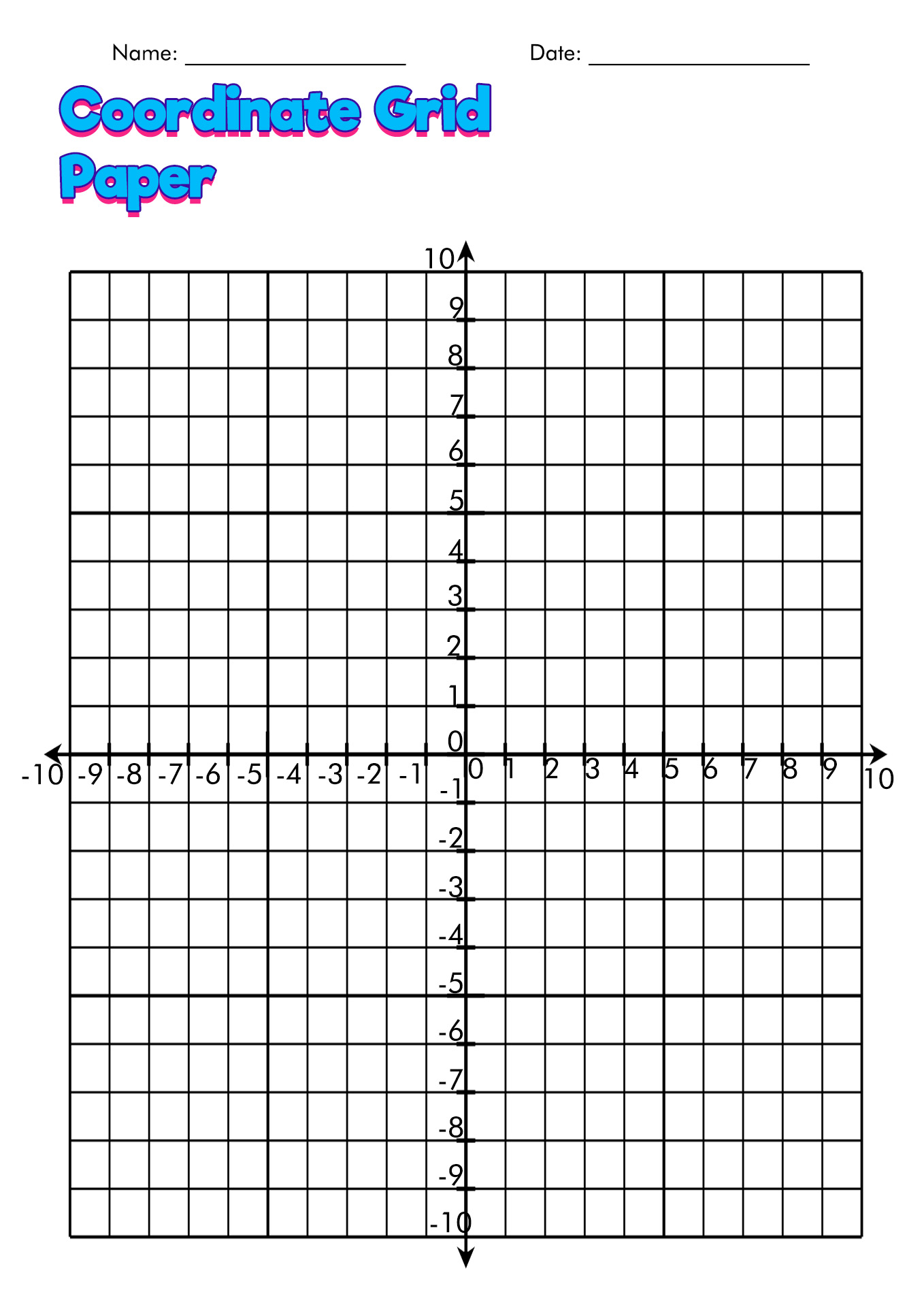
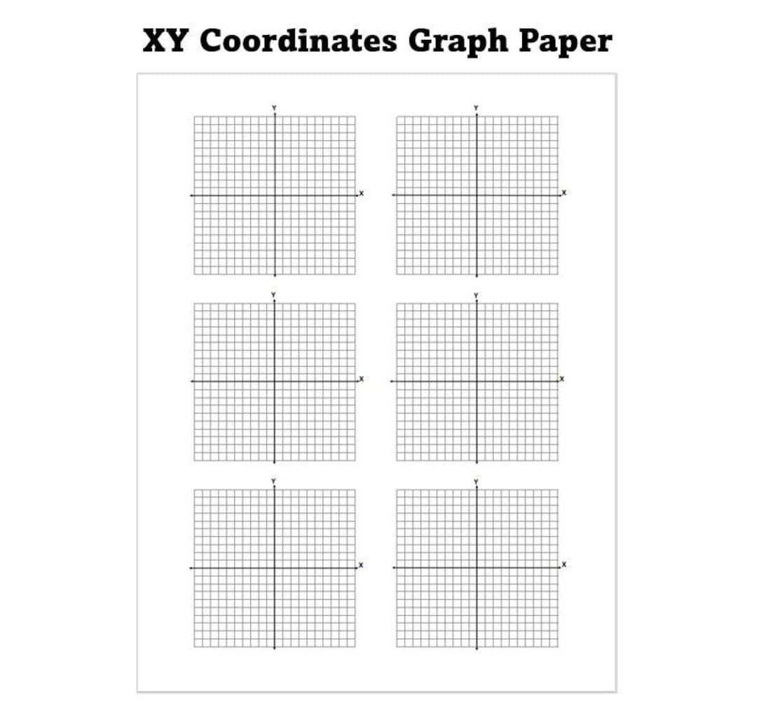
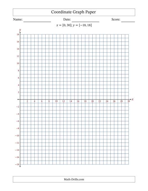
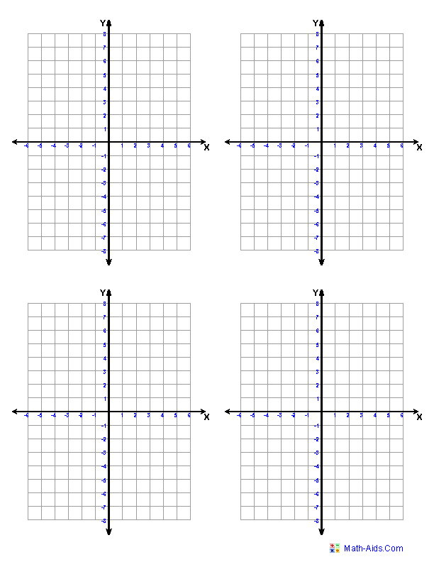
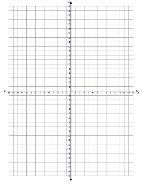
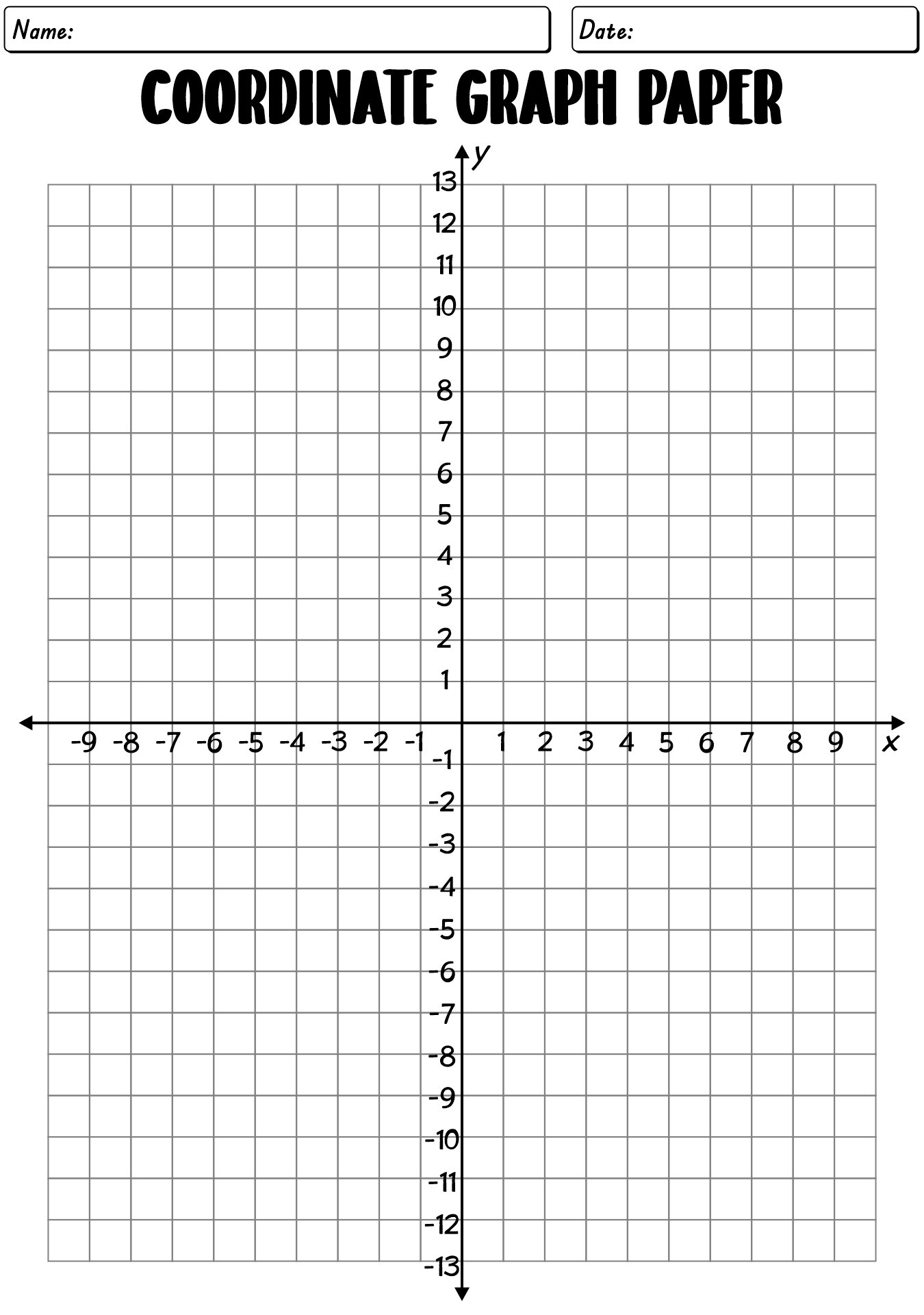
A coordinate graph paper pdf provides the precise spatial framework necessary for mastering mathematical plotting, geometry, and technical drawing. According to a National Council of Teachers of Mathematics research report on visual representations in mathematics, students who consistently utilize structured grid systems develop stronger proportional reasoning and spatial visualization skills than those relying solely on unlined paper. Integrating a printable coordinate grid into daily practice bridges the gap between abstract algebraic equations and concrete visual proofs. These standardized templates eliminate the friction of hand-drawn axes, allowing learners to focus entirely on precision, data interpretation, and mathematical accuracy.
Quick Key Takeaways:
- Core Focus: A standardized coordinate graph paper pdf provides scaled gridlines and labeled axes for accurate mathematical plotting.
- Target User: Mathematics students, educators, and design professionals requiring reliable spatial templates.
- Key Recommendation: Print at 100% scale without page scaling to ensure accurate millimeter or inch measurements.
What This Printable Covers
The standard coordinate grid template covers a comprehensive range of cartesian mapping requirements, from simple four-quadrant plotting to complex multivariate data representation. Curricular integration spans multiple subjects, connecting algebra, physics, and technical drafting. Designed with crisp, high-contrast lines, the layout ensures that grid intersections remain legible even under heavy pencil markings or layered geometric constructions. Within broader educational frameworks, these tools align directly with standards emphasizing mathematical modeling and precise tool usage, supporting learners as they transition from basic plotting to advanced calculus and vector analysis.
Key Learning Outcomes
Learners using these structured grids successfully master absolute coordinate location, slope calculation, and geometric transformation. Primary outcomes include enhanced ability to plot linear and non-linear functions accurately, improved translation of word problems into visual graphs, and elevated precision in drafting scaled technical diagrams. Furthermore, repeated exposure to standardized Cartesian coordinates builds foundational cognitive scaffolding required for advanced scientific inquiry, engineering design, and rigorous data analysis across multidisciplinary academic tracks.
Overview & Skill Breakdown
| Focus Area | Target Skill | Best Practice |
|---|---|---|
| Cartesian Mapping | Quadrant identification and point plotting | Verify axis scaling before plotting points |
| Function Analysis | Graphing linear and quadratic equations | Use sharp pencils to maintain thin, accurate lines |
| Geometric Transformations | Rotations, reflections, and translations | Label original and transformed vertices clearly |
How to Use This Worksheet
Implementing a coordinate grid effectively requires pairing the layout with appropriate drawing instruments, such as a sharp graphite pencil and a transparent straightedge. In academic settings, instructors distribute these files to accompany daily Academic problem sets, ensuring every student has access to uniform scaling. At home or in professional environments, these templates serve as reliable foundations for mapping out floor plans, tracking statistical trends, or organizing complex administrative layouts found within Administrative tracking systems.
Practical Tips for Success
Preparation involves selecting the correct grid density, choosing between quarter-inch, centimeter, or specialized polar coordinates depending on the task complexity. During execution, users should boldly outline the primary X and Y axes prior to plotting data points to prevent misinterpretation of quadrants. For extension, educators can challenge advanced learners to design their own coordinate-based polygons, reinforcing spatial awareness and algebraic reasoning through creative, self-directed exploration.
Stage-Appropriate Recommendations
For elementary learners taking their first steps in spatial awareness, educators often pair basic grids with foundational Early Learning mapping activities. According to the National Association for the Education of Young Children (NAEYC) guidelines on early cognitive development, children benefit most from concrete, tactile engagement with structured space before transitioning to abstract symbols. Advanced students and professionals tackling personal optimization projects can leverage denser grids for tracking metrics related to Personal Growth, such as habit formation charts and productivity trends. To streamline daily practice sessions, pairing these grids with a targeted Worksheet provides structured challenges for learners at every mastery level.
Young children benefit most from concrete, tactile engagement with structured space before transitioning to abstract symbols. — National Association for the Education of Young Children (NAEYC)
Frequently Asked Questions
Explore More Free Printable Resources
Discover a vast collection of expertly designed educational templates, administrative charts, and learning aids tailored to support learners of all ages. Visit Free Printable For You to browse the complete library and equip your classroom or home office today.
Images References